News
Updated, Tuesday at 4:51 a.m.: Environment Canada updated the special weather statement, which now covers Foremost and Elkwater.
Accumulating snow will begin this afternoon or evening.
Generally total snowfall accumulations are expected to be in the 5 to 15 cm range. However, the exact track and intensity of this storm system is still uncertain, so there is a possibility that some locations will be upgraded to a snowfall warning.
Snowfall will taper off Wednesday evening.
Environment Canada issued a special weather statement for Medicine Hat, Redcliff, Seven Persons, Dunmore, Irvine, Bow Island, Foremost, Elkwater and the Cypress Hills and Brooks on Monday at 3:30 p.m.
The agency said:
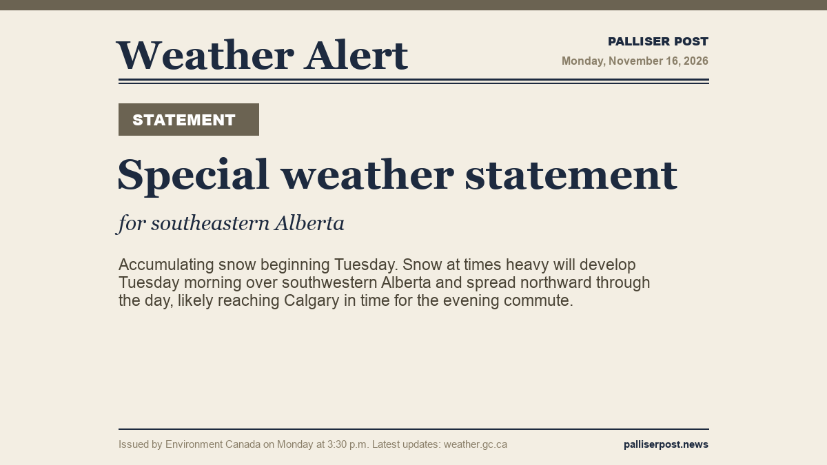
Accumulating snow beginning Tuesday.
Snow at times heavy will develop Tuesday morning over southwestern Alberta and spread northward through the day, likely reaching Calgary in time for the evening commute. Snow will continue overnight and into Wednesday.
For areas further east, rain will change to snow overnight Tuesday. Total snowfall accumulations across all areas will be in the 5 to 15 cm range. The exact track and intensity of this system is still uncertain, so there is a possibility that some locations may be upgraded to a snowfall warning.
This snowfall event will end Wednesday night.
The full alert and the latest updates are on Environment Canada's website. Highway conditions are available from 511 Alberta.
This story will be updated as Environment Canada issues new information.
Members Discussion